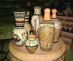
Madaba (The Mosaics City)
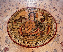
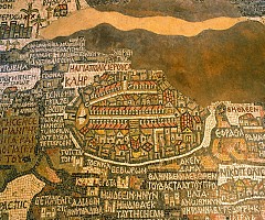
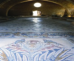
Madaba is the fifth most populous town in Jordan. It is best known for its Byzantine and Umayyad mosaics, especially a large Byzantine-era mosaic map of The Holy Land. Madaba is located 30 kilometers south-west of the capital Amman. Madaba has a very long history stretching from the Neolithic period. The town of Madaba was once a Moabite border city, mentioned in the Bible in Numbers 21:30 and Joshua 13:9. Madaba dates from the Middle Bronze Age. During its rule by the Roman and Byzantine Empires from the 2nd to the 7th centuries, the city formed part of the Provincia Arabia set up by the Roman Emperor Trajan to replace the Nabataean kingdom of Petra. During the rule of the Islamic Umayyad Caliphate, it was part of the southern Jund Filastin,The first witness of a Christian community in the city, with its own bishop.
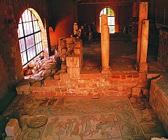
The first mosaics were discovered purely by chance during the building of the new permanent dwellings using squared-up stones from the old monuments. The Madaba Mosaic Map is an index map of the region, dating from the 6th century, preserved in the floor of the Greek Orthodox Basilica of Saint George. With two million pieces of colored stone, the map depicts hills and valleys, villages and towns in Palestine and the Nile Delta.
{gallery}Amman{/gallery}

